January 6, 2015
Being engaged in government is one of our most important responsibilities as citizens. Involvement is especially critical when you hold a divergent view and sometimes, just sometimes perseverance pays off. Today we are witnessing how wildly successful a handful of committed folks supported by a large group of believers can be!
Look around at this beautiful place, on a clear day both Mt. Diablo and Mt. Tam are visible from here. Let’s start the story by visualizing some of the changes that have occurred here over time and led to the development proposal.
- 15,000 years ago there was no San Francisco Bay. The polar ice caps incorporated more of the earth’s water so Cullinan was dry.
- As much as 3,500 years ago indigenous people hunted tule elk with obsidian arrow points knapped from a Napa County volcano, trapped salmon with nets, and cultivated marsh grasses and roots for basketry for centuries
- In 1856 the U.S. Coast Survey mapped Cullinan as a fully developed wetland and tidal channel network located between Boat Cutoff Slough and San Pablo Bay.
- Cullinan was diked in the 1880s for ranching, primarily oat hay because it grows despite the salty, soggy soil.
That brings us to the 1983 grand plan to build 3,000 single family houses, 1,500 apartments and condominiums, 1,700 boat slips, and 60 acres of offices and shops. What an enchanting place to live — at the water’s edge, tying your boat up right outside your back door. It sounded great; until I understood that this beautiful waterfront development was going to be located right here, on the first large, privately held parcel west of the Napa River. The implications for the entire corridor were obvious and evoked a loud, collective community gasp that resounded around the bay. A group coalesced and we named ourselves Citizens for Cost Efficient Growth, or Cost, for short. The group’s name was a non-sequitur because while we were environmentally motivated, we were concerned the general public would be more swayed by the financial folly. For example, the plan called for importing 13.2 million cubic yards of fill to compensate for up to 6 feet of ground surface subsidence caused by decades of pumping to drain the soils for agriculture. That means hauling in enough soil to fill 8 rows of dump trucks lined-up between LA and San Francisco.
In the end what mattered was our mailing list of 75 or so, folks from far and wide who supported and advised a local core of Vallejoans who gathered, pondered, studied, and gave public testimony at every local and regional meeting that was considering this plan.
Our testimony fell on deaf ears. The County Supervisors and LAFCO approved annexation of the ranch to Vallejo; the Vallejo Planning Commission followed by the City Council, approved the EIR for the development. The development was to move forward. Only one alternative remained, the group raised $40K for a lawsuit on inadequacies in the Environmental Impact Report. BCDC and the State AG supported Attorney Clem Schute’s winning case which did two things: 1) told the City and the developer where and how to fix the EIR and 2) raised awareness enough that in 1985 the Army Corps and the State Lands Commission denied the developer’s permits.
The group realized that public ownership was the only way to protect Cullinan Ranch from development. We turned to Senator Barbara Boxer, who secured seven million dollars in Land and Water Conservation funds to purchase Cullinan Ranch and add it to San Pablo Bay National Wildlife Refuge in 1991.
The choices we make determine the lives we lead. We are standing here today because a group of folks chose involvement over apathy, analyzed EIR sections instead of watching TV at night after dinner, traveled the full circle from outrage to public acquisition of an oat hay ranch and seasonal wetland soon to flourish from the introduction of free flowing Pacific Ocean tides, the Napa River and beyond.
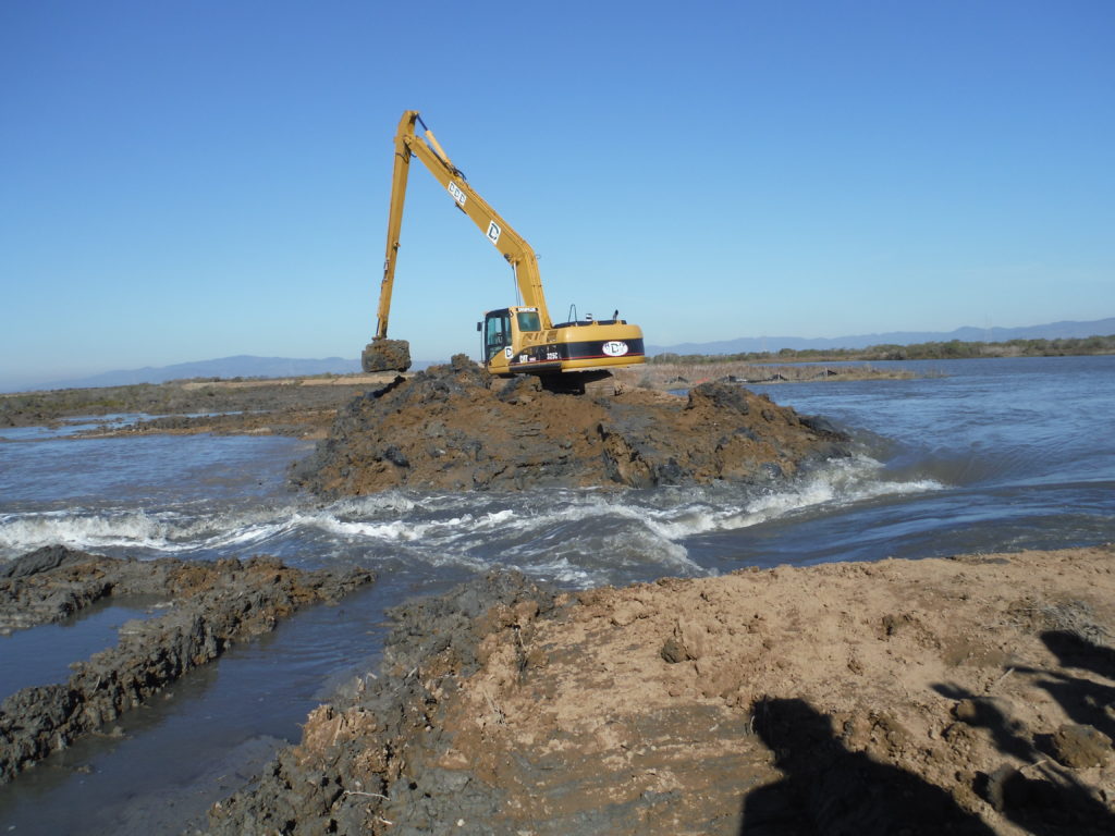
The breaching here at Cullinan brings the total to more than 35,500 acres of wetland between the Napa River and Sears Point, that is more than 55 square miles under the stewardship of state and Federal wildlife agencies who’s staff spend their lives protecting and enhancing our natural resources. Democracy works best when the community is engaged. I want to invite everyone to stand who was a member of the Cost team; acknowledge the many who are unable to join us today and say thanks!
Here’s to the continued collaboration of citizens, civil servants, and politicians because together we are strong and successful.
Thank You.
Francesca Demgen, Founder, Friends of San Pablo Bay Wildlife Refuge